

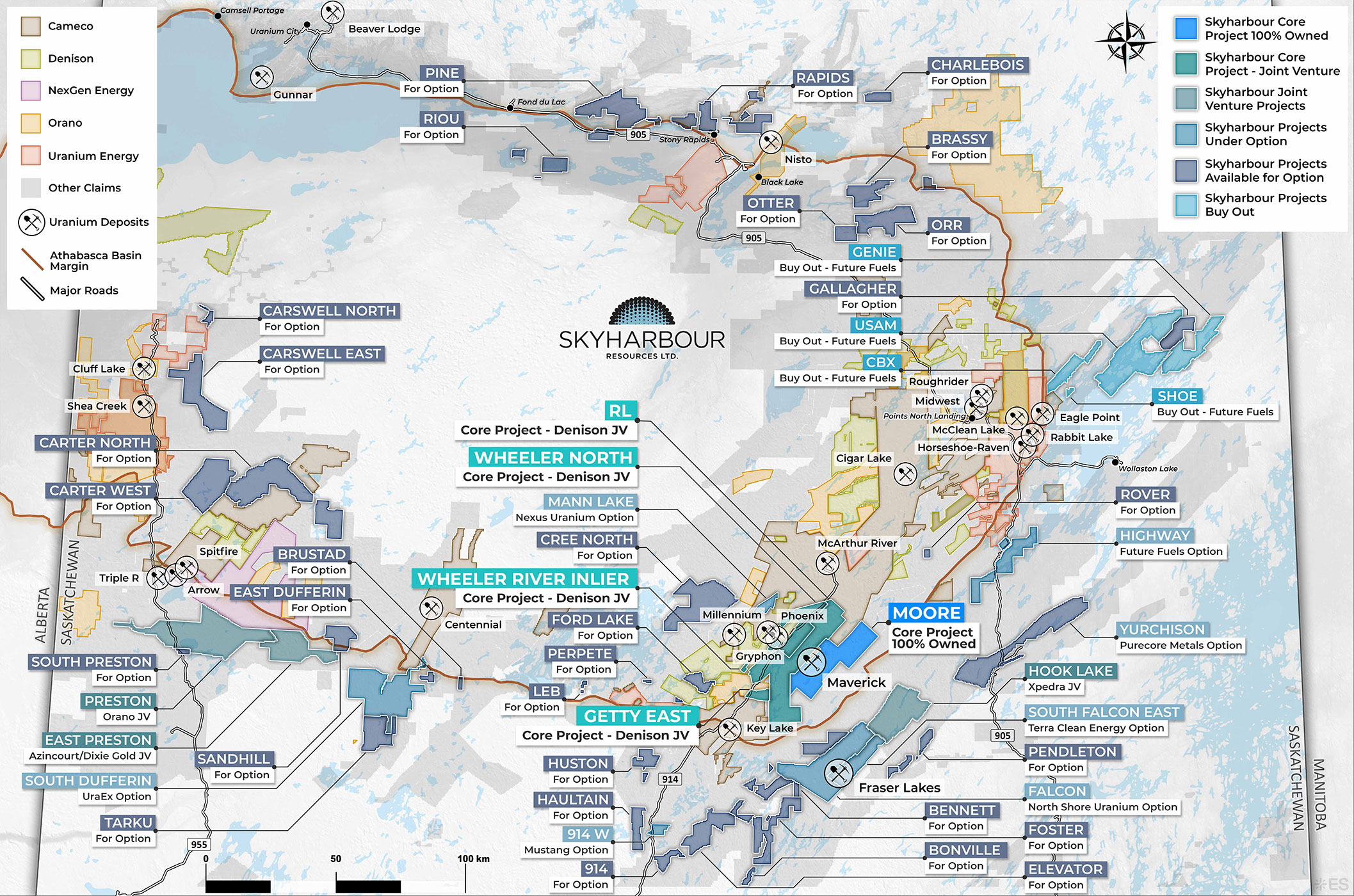
Project Summary:
The Carter West Project comprises six mineral claims totaling 24,398 hectares along the western margin of the Athabasca Basin, approximately 24 km northeast of the Athabasca Basin boundary. Historical drilling on the property intersected 230-300 metres of Athabasca sandstone unconformably overlying crystalline basement rock. The claim block is located on undertested ground in the western Athabasca Basin, prospective for both unconformity-hosted and basement-hosted uranium mineralization. The project lies 151 km north of the town of La Loche, 207 km northwest of the Key Lake Mill, 188 km northeast of Fort McMurray, and 9 km east of Highway 955.
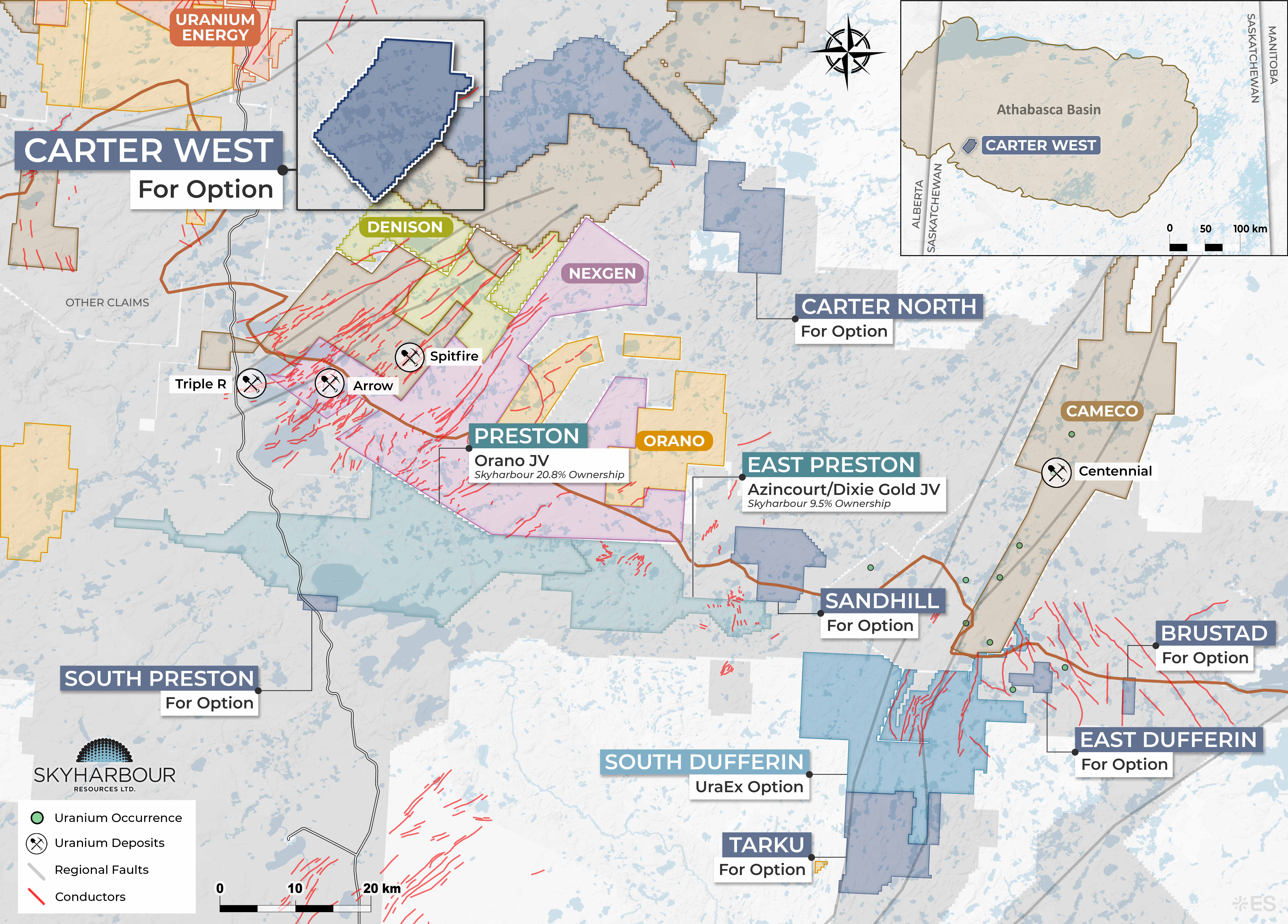
Exploration on the property dates to the late 1960s and 1970s. Since 2005, exploration activity in the surrounding area has included airborne and ground geophysics, boulder and soil sampling, and drilling, conducted by: Titan Uranium Inc. at its Castle North/South properties (2005); Logan International Resources Corp. and ESO Uranium Ltd. at their nearby Gorilla Lake, Cluff, Hook, and Mandin properties (2005-2007); Uranium North Resources at its Carswell East and Beatty River block (2007); and CanAlaska (2018). Uranium mineralization has been intersected at properties within this surrounding area, supporting the prospectivity of the broader regional geological trend in which Carter West is located.
No ground geophysical surveys have been conducted on the Carter West claims to date. Follow-up ground geophysical surveys are recommended as the initial phase of exploration on the Carter West Project to further evaluate its uranium mineralization potential.
Contact Nicholas Coltura for more details: ncoltura@sentinelmarket.com