

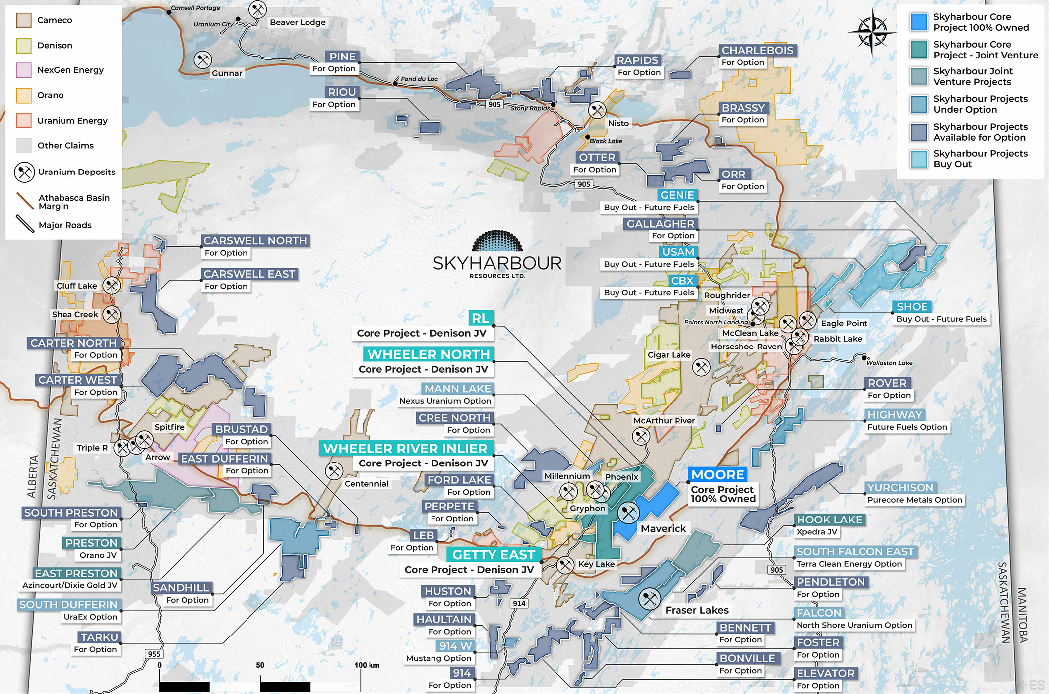
Project Summary:
The Carswell East Project consists of five claims totalling 23,666 hectares in the western Athabasca Basin, approximately 9 km east of the former Cluff Lake uranium mine complex and Highway 955,197 km north of La Loche, and 216 km northeast of Fort McMurray. The project lies along the southeastern margin of the Carswell impact structure and is underlain by an indeterminate thickness of Athabasca sandstones and carbonates of the McFarlane, Lazenby Lake, Wolverine Point, and Manitou Falls groups.
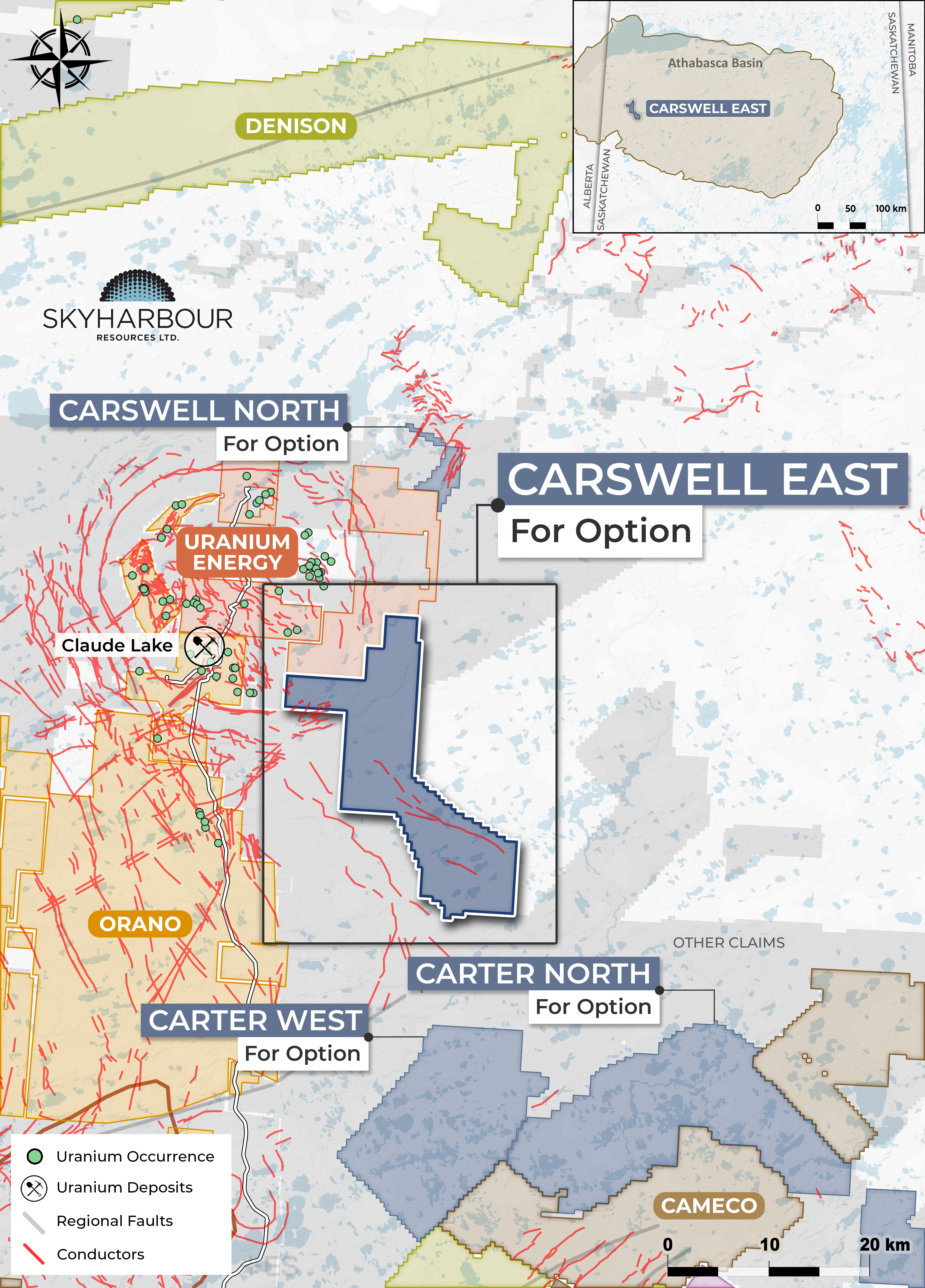
The project is largely untested by drilling, with only a limited number of shallow percussion test holes drilled to follow up on radioactive springs in the area. The closest diamond drill holes to the property were shallow and did not reach the sub-Athabasca unconformity, so the true thickness of sandstone in project area remains unknown. A variety of geological and geophysical surveys have been conducted on the project, primarily in the late 1960s to 1970s and again between 2004 and 2013. These programs included airborne and ground EM and magnetic surveys, which identified several EM conductors that remain untested by drilling. Carswell East is prospective for both unconformity-hosted and basement-hosted uranium mineralization, particularly given its proximity to the past-producing Cluff Lake uranium mine complex, and is considered drill-ready, warranting drill testing of the previously identified EM conductors.
Contact Nicholas Coltura for more details: ncoltura@sentinelmarket.com