

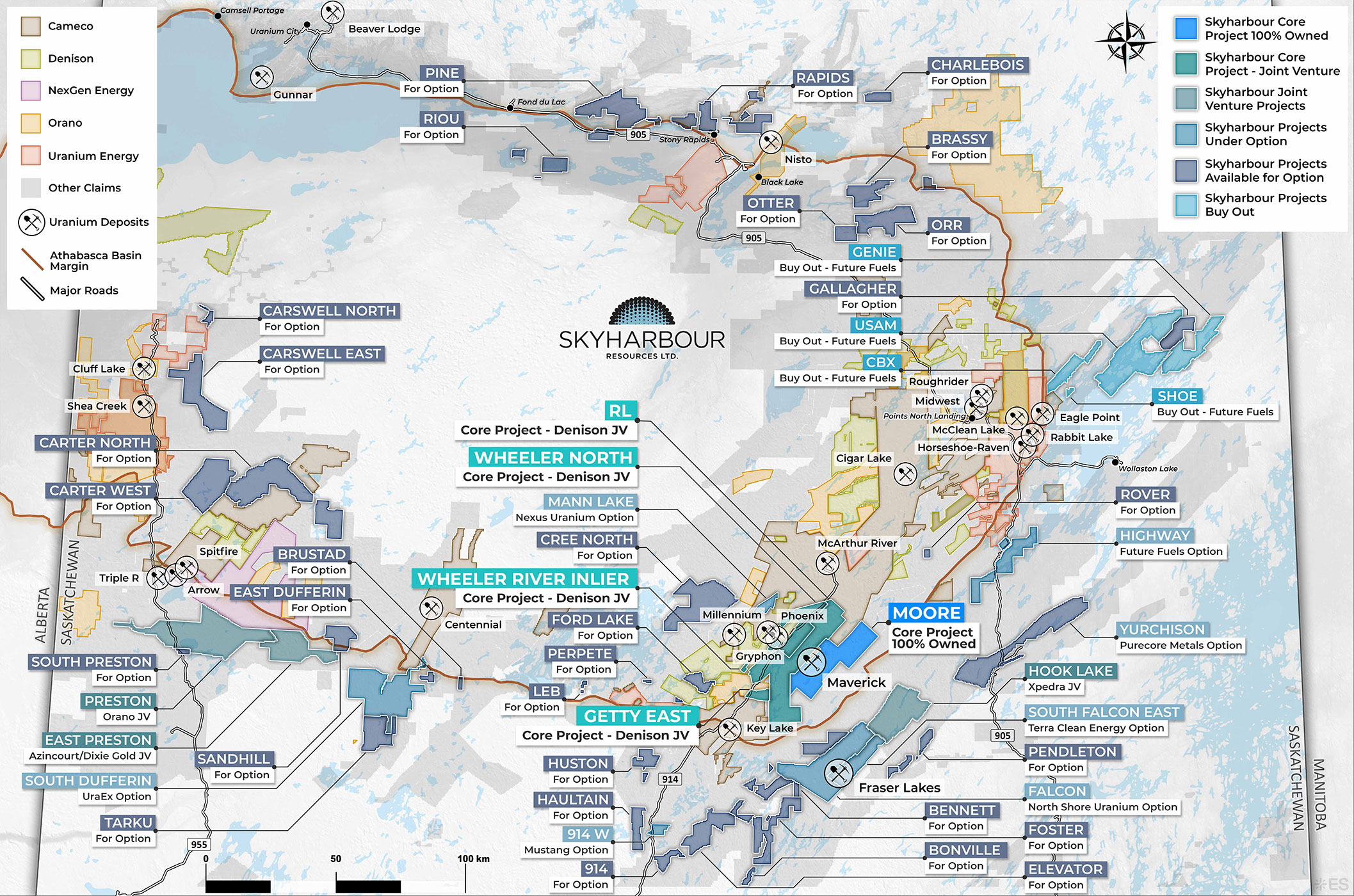
Project Summary:
The Carswell North Project consists of a single claim totalling 1,544 hectares in the western Athabasca Basin, approximately 28 km northeast of the former Cluff Lake mine complex, 260 km northeast of Fort McMurray, and 230 km north of La Loche. The project is underlain by Athabasca Supergroup sandstone, siliciclastics, and carbonates of the Locker Lake, Douglas, Carswell, Otherside, and Manitou Falls formations, just northeast of the Carswell impact structure.
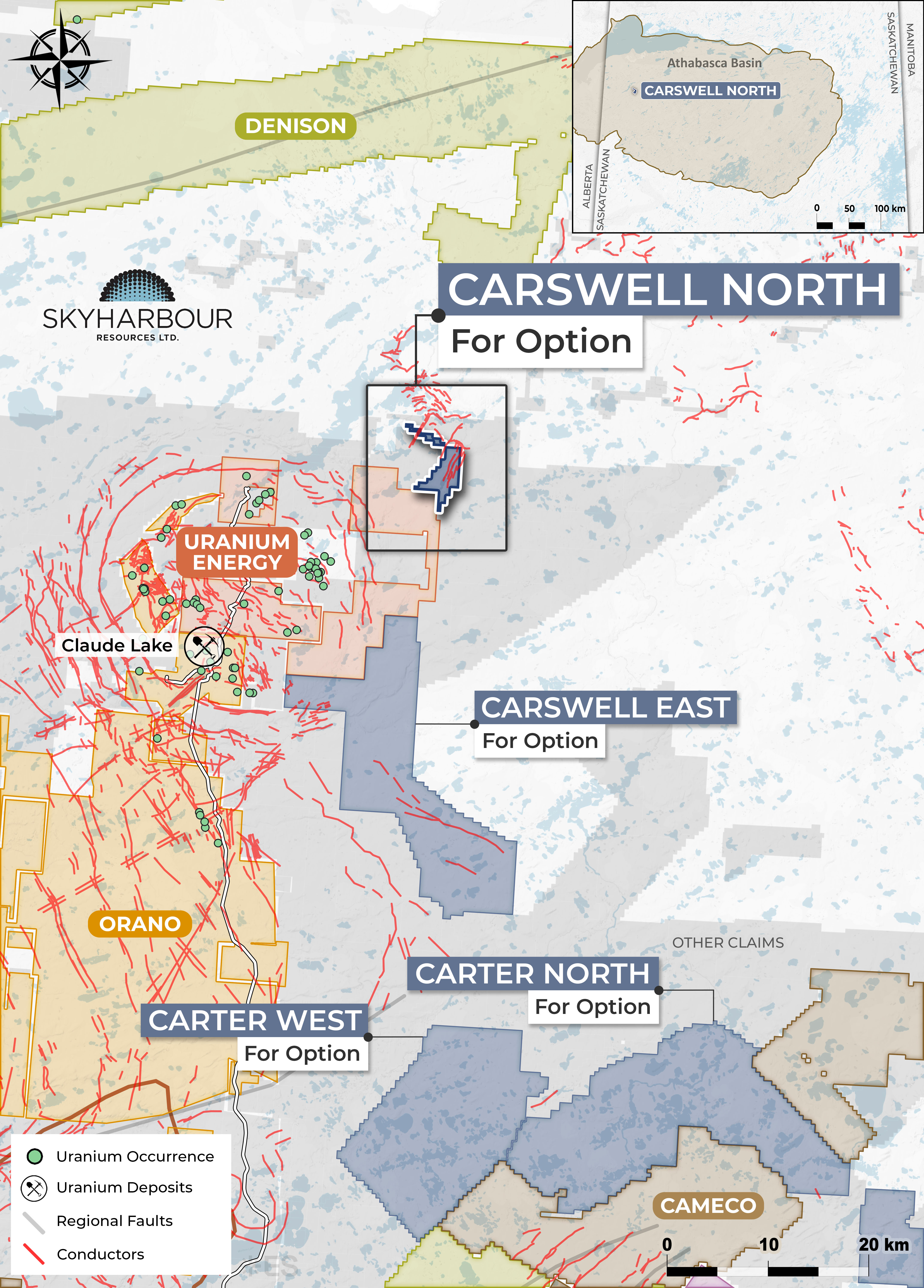
The earliest exploration on the project took place in the late 1970s and consisted of airborne EM and magnetic surveys, lake water, soil, and organic sampling, and overburden drilling and sampling. An airborne MEGATEM and magnetic survey completed in 2007 identified several northeast-trending EM conductors. No diamond drilling has been completed on the project, and the depth to the sub-Athabasca unconformity therefore remains unknown. The project would benefit from additional ground geophysics to better define the previously identified EM conductors prior to drill testing.
Contact Nicholas Coltura for more details: ncoltura@sentinelmarket.com